
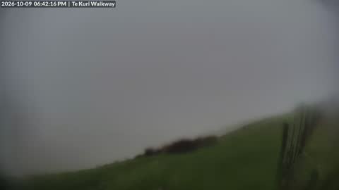

Live view over Gisborne looking sou'west from the Te Kuri Walkway. Left: Kaiti & Titirangi. Centre: Gisborne city and the bay (Tūranganui-a-Kiwa). Right: the Poverty Bay flats out to the ranges.
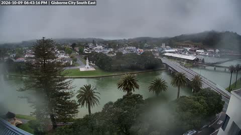
Live view of Gisborne looking sou'east from the Evo Office. Left: the confluence of the Taruheru and Waimata Rivers. Centre: Kaiti & the Tūranganui River. Right: marina & port.
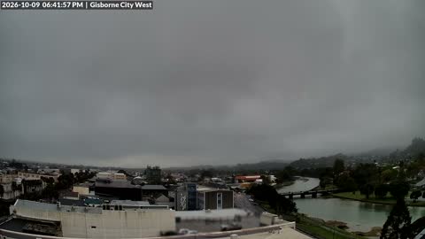
Live view of Gisborne looking west from the Evo Office. Left: glimpses of the main street & palm trees. Centre: the CBD. Right: the Taruheru river, marina & Peel St bridge.
Live view of Wainui Beach looking nor'east from Tuahine Point. Left: Wainui and Okitu. Centre: Makorori & the Makorori Headland. Right: the Pacific Ocean.
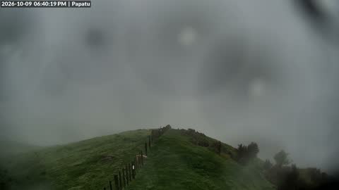
Live view of Gisborne looking east from Papatu. Left: Patutahi, Makauri & Waerenga-a-hika. Centre: Te Arai River and Gisborne City/Bay. Right: Muriwai & Young Nicks Head/Te Kuri o Pāoa.
Live view of Te Karaka area looking north from Cranswick Hill. Left: Waikohu. Centre: Puha & Whatatutu. Right: Waipaoa River & fringe of Te Karaka township.
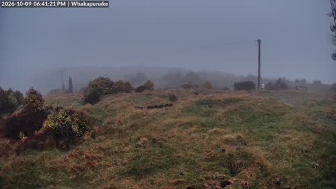
Live view looking nor'east from Whakapunake. Left: Wairoa & Frasertown. Centre: the Central Plateau in the distance. Right: Ruakituri Valley.
Live view of Tolaga Bay/Ūawa looking north from Shelton's. Centre: Ūawa Valley with Mangatuna in the distance. Right: Tolaga Bay township & historic Wharf.
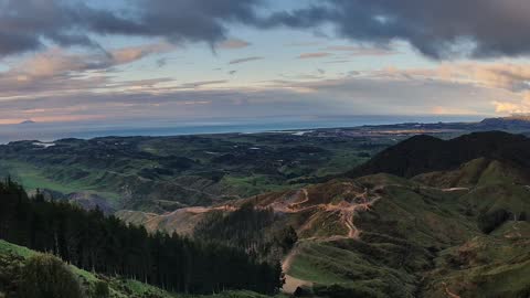
Live view of Ōpōtiki looking north from Waiputatawa. Left: Waiotahe Valley & Whakaari/White Island. Centre: Ōpōtiki town and wharf. Right: Tablelands.
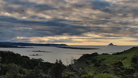
Live view of Ōhiwa Harbour looking nor'west. Left: Ōhiwa & Ōhiwa Harbour. Centre: Ōhope & Kōhi Point. Right: Moutohorā Island.